Yesterday was an unexpectedly mild day (forecast said snow, ended up as partly cloudy and around 50 for most of the afternoon), so clearly a short trip to SNP was called-for. We headed out 250 West from Charlottesville, hit the junction with Skyline Drive, and headed up in to the park. Right before mile 94, we pulled into the Turk Gap parking area, crossed the road, and hit the trail.
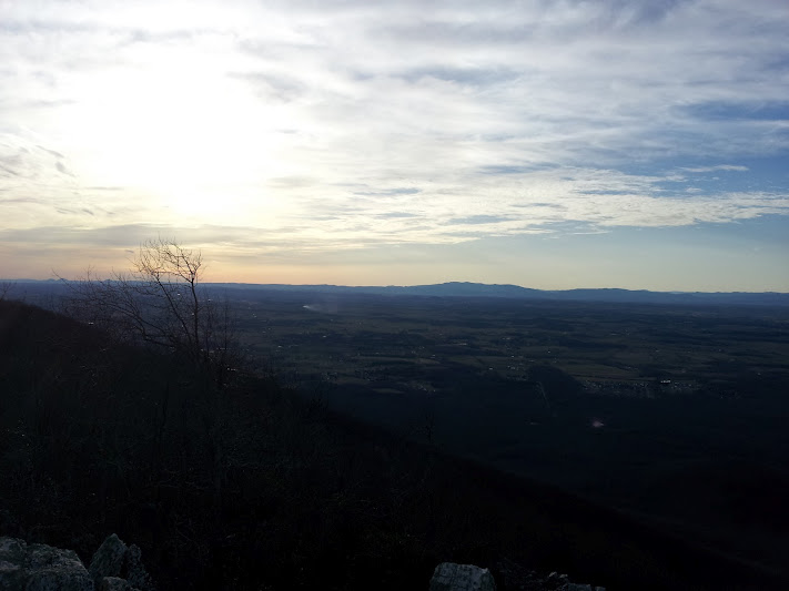
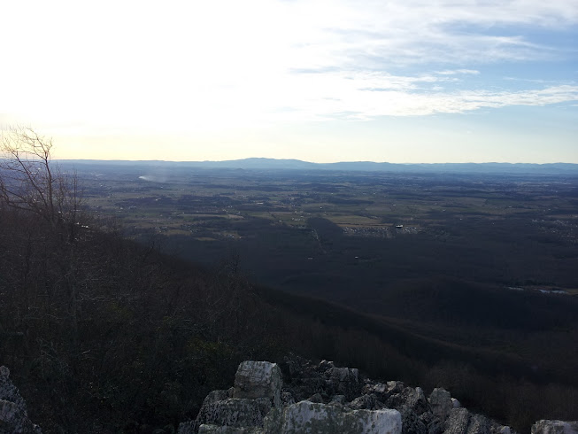
The hike is as advertised - a quick jaunt on a connector trail down to an intersection with the A.T. - you'll see a concrete trail marker. Following the marked trail towards Turk Mountain summit, you'll found yourself on a moderate downhill for about 0.3 miles, and when the leaves are off the trees you can find see Turk Mountain looming ahead. Despite the ominous shape, it's moderate but sometimes rocky climb to the summit, where you are greeted with a small rock scramble to the very top. The views to the west are spectacular - it had rained heavily for several days beforehand, and the air was crisp and clear.
If you are interested in repeating our hike, check out the Shenandoah National Park website, and click through to find the Riprap Area Road and Trail Map. It's the last hike mentioned on the pdf. Happy hiking!
 RSS Feed